National Weather Service (NWS) meteorologists have issued weather warnings across New York as a winter storm arrived on Wednesday.
Newsweek reached out to the NWS office in Binghamton, New York, by phone for comment.
Why It Matters
A winter storm warning in place across parts of New York will remain in effect until the early hours of Thursday morning. Although the storm was winding down, some winter weather-related impacts were still expected, such as difficulty traveling.
What To Know
According to animated forecasts, the winter storm is currently moving across New York.
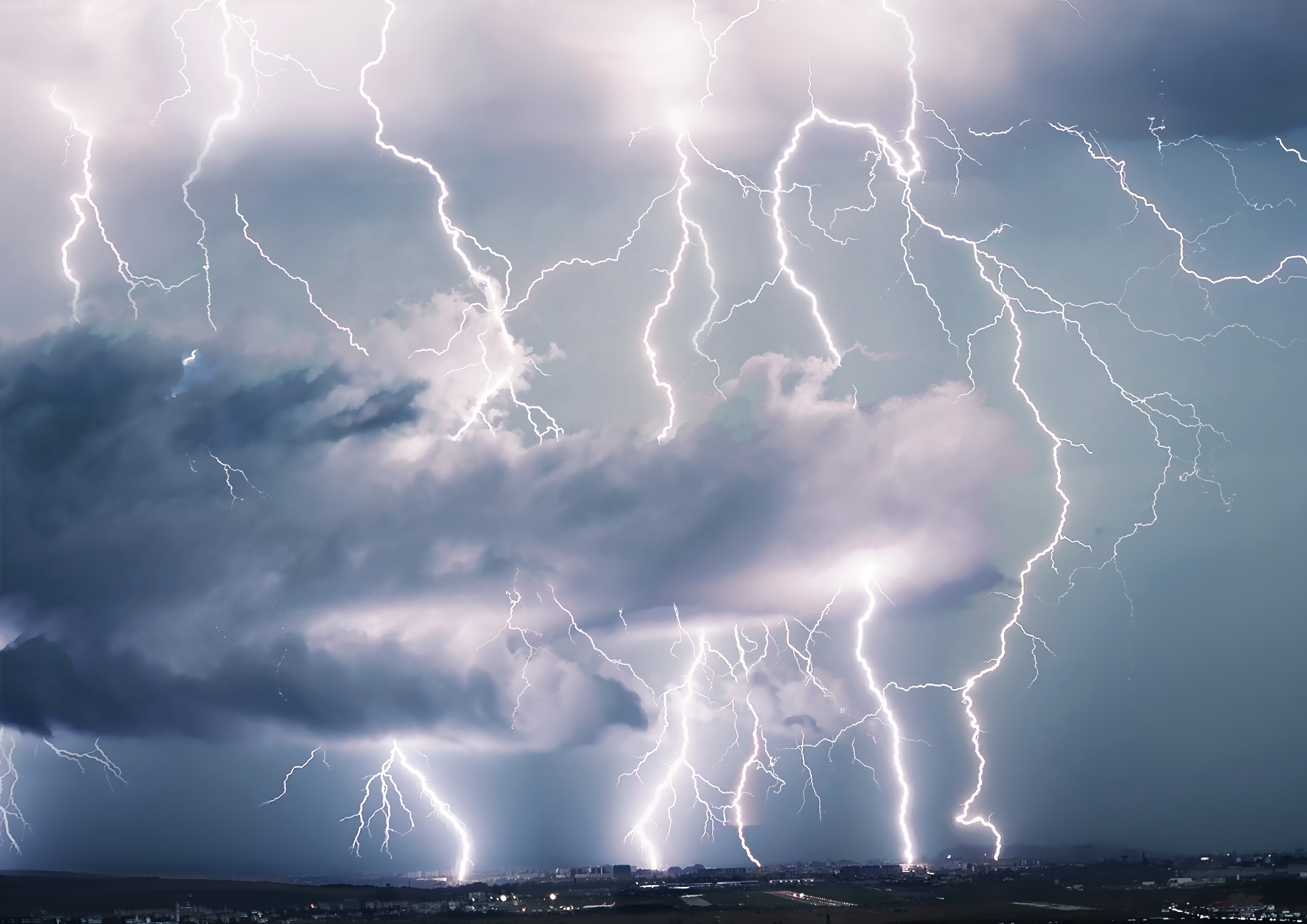
New York Weather Radar
The current weather radar, shown in animated footage from windy.com, shows the storm mostly centered over central New York as of Wednesday evening.
Wind Gusts
According to the footage, winds were gusting around 40 mph across central New York.
Snow Accumulation
Some rain was expected over the next 24 hours in New York, but the main concern was snow. Over the next 24 hours, northern New York could see as much as 3 additional inches of snow, whereas central New York is expecting more than an inch of additional snow.
NWS meteorologist Dan Kelly previously told Newsweek that areas in the Buffalo, New York, forecast region are behind on their snowfall so far this year, and the ongoing winter storm could help remedy the deficit.
In addition to the winter storm warning, there was a winter weather advisory in place across much of New York, a snow squall warning and a wind advisory.
What People Are Saying
NWS office in Albany, New York, said in a winter storm warning: "If you must travel, keep an extra flashlight, food and water in your vehicle in case of an emergency. Be prepared for slippery roads. Slow down and use caution while driving. If you are going outside, watch your first few steps taken on stairs, sidewalks and driveways. These surfaces could be icy and slippery, increasing your risk of a fall and injury."
NWS Binghamton, New York, said in a winter storm warning: "Plan on slippery road conditions. The hazardous conditions could impact the Wednesday evening commute. Gusty winds could bring down tree branches."
NWS Binghamton said in a snow squall warning: "Flash freeze on roads. Intense bursts of heavy snow. Gusty winds leading to blowing snow and rapidly falling visibility. Wind gusts greater than 35 mph. Travel will become difficult and potentially dangerous within minutes."
What Happens Next
The storm is expected to move out of the region overnight Wednesday.
fairness meter
Top stories


About the writer
Anna Skinner is a Newsweek senior reporter based in Indianapolis. Her focus is reporting on the climate, environment and weather ... Read more